
Last Updated:
Sanger sits on the I-35 corridor at the north edge of Denton County, on some of the heaviest clay in the area, with Ray Roberts Lake a few miles east along FM 455. Most clearing questions here come back to two pieces of city paperwork, the early grading release for development land and the city burn permit for anyone hoping to burn the piles. Post Oak Land Clearing Denton offers and manages land clearing, pasture clearing and site prep in Sanger, with the work done by licensed and insured contractors, and both permits are on the list from the first walk.
Clearing a development tract before the plat is done
Sanger issues no permits for construction activity until a project’s construction plans and plat are approved. The exception is early grading: on the owner’s written request, the Director of Development Services may allow it once a final plat has been submitted and accepted. Sanger’s grading form is blunt about the rest: “No grading, clearing or fill shall commence without a SWPPP and prior approval of the Director of Development Services.”
The request carries a set of attachments. The owner files a Notification of Grading form, an erosion control plan sealed by a licensed engineer, a copy of the TCEQ notice of intent where one applies, and a detailed grading plan if streets are proposed. Every erosion control measure is installed before grading starts, and fill in planned streets needs 48 hours’ notice to the Director of Public Works. The city’s fee for early grading is $400. The form also asks for the estimated disturbed acreage and whether the site lies in a FEMA special flood hazard area; if it does, a separate floodplain permit is required.
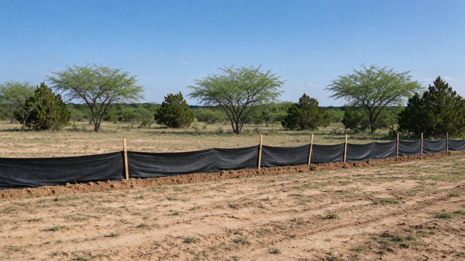
Two lines on the attached contractor consent form shape the clearing itself. Sites disturbing more than 1 acre need TPDES construction general permit coverage, and weeds, grass, shrubs or brush may not be left anywhere that drains to the storm sewer or to waters of the state. A brush pile beside a ditch is a violation, not a staging area. That pushes development work toward land clearing and grading planned as one sequence, with erosion control set before the first cut.
Burn permit or mulcher: the Sanger debris question
Denton’s Fire Marshal allows no open burning inside Denton city limits; Sanger still offers a path. The city issues an open burn permit that runs to a stated date, is non-transferable and can be revoked by the Fire official, and the form has its own contractor section. The permit holder must also contact Denton County for the daily burn-day decision and log each burn there. Sanger’s fee schedule adds $200 for a commercial open burn over 25 acres.
The permit does not settle the question alone. Because Denton County is part of the Dallas-Fort Worth ozone nonattainment area, the state treats a land-clearing burn as a last resort, allowed only where grinding or hauling is not practical, and burning still has to meet the state’s daylight, wind and setback conditions. The county makes its burn-day call between 8 and 9 a.m., which means a burn cannot be booked days ahead, and a drought ban can close the window for weeks. Mulching in place or debris removal gives a schedule that does not hang on the morning call; the burning brush in Denton guide walks through the burn path step by step.
How a Sanger job usually runs
On development land the city filings set the pace; on acreage and pasture the clay does. Either way the order holds: a call, a walk, the filings where they apply, the clearing, then the finish.
The first call establishes whether a plat has been filed, since that decides whether the early grading route is open at all, along with the address, acreage and end use. On the walk, keepers get flagged, low ground and drainage paths are mapped, and any wires crossing the work are traced to their operator. City of Sanger Electric, owned and operated by the city, serves most of Sanger, and CoServ serves some areas, so the line operator is confirmed for the parcel; Texas law requires 48 hours’ notice to that operator before any machine or falling tree comes within 6 feet of a high-voltage line. The city’s electric office is at 940-458-2064.
For a development tract, the early grading request, engineer-sealed erosion plan and SWPPP go in next. A Texas811 locate goes in at least two working days before anything digs below 16 inches. Clearing then follows the agreed method: pasture clearing or brush hogging for acreage, cutting and grubbing for a building area. The finish is covered ground, either the mulch layer or seeded soil behind silt fence, with brush kept away from anything that drains.
Heavy clay between I-35 and Ray Roberts Lake
The ground here is Grand Prairie clay: Slidell clay, Mingo clay loam, Sanger clay and Lewisville clay loam dominate the USDA soil survey points around town, with a little Bastsil fine sandy loam. Slidell clay reaches a linear extensibility of 10% and Sanger clay 9.1%; both sit in hydrologic soil group D, the slowest-draining class, and Mingo clay loam is group D as well. In practice that means a soaking rain closes the ground for days. Tracks sink, ruts dry into hard ridges, and compacted clay sheds the next rain faster. May and October are the wettest months at the Denton airport station, at 4.52 and 4.17 inches, so starts in those months are the ones most likely to slip. The brush itself is Grand Prairie brush: cedar, mesquite and honey locust moving into old pasture, rather than closed oak woods.
East of town, the land falls toward Ray Roberts Lake. Texas Parks and Wildlife lists the Sanger Park and Ray Roberts Marina access off FM 455 about 3 miles east of Sanger, the Isle du Bois unit of the state park 12 miles east of I-35 on FM 455, and the Johnson Branch unit 7 miles east of I-35 on FM 3002, north of town. Tracts toward the lake are where the grading form’s flood hazard question matters most, and flood zone status is checked for each parcel before a price is set. Federal and state rules along the lakeshore itself are confirmed per address.
Sanger is growing in a different way from the rest of the area. Sanger’s estimated population reached 10,238 in mid-2025, about 1,400 more than the 8,839 counted at the 2020 base, and new single-family permits rose from 59 to 104 between the last two annual counts, plus 306 units in buildings of five or more in the most recent year. Platted ground and larger development sites are part of that, which is why the early grading rule comes up as often as pasture brush does. Commercial land clearing on those sites runs on the plat schedule.
What is still confirmed per address in Sanger
Not every Sanger rule is on paper in a form that could be read. No tree removal permit or tree mitigation fee appears in the city’s master fee schedule, but the zoning text was not readable, so tree rules on a given tract are checked with Development Services before trees are marked. Acreage just outside city limits falls under Denton County’s development permit for flood zone work and the county burn-day system instead of the city’s forms. Per-acre pricing does not change at the city limit sign; the land clearing cost per acre guide lays out the ranges, and when to clear land in North Texas covers the season question. For a clay town with a different burn rule to the southwest, see the Justin page.