Usually only a little, and only with care. Inside Denton city limits, tree and understory removal is prohibited in mapped riparian buffers and in undeveloped floodplain, apart from approved invasive removal. In unincorporated Denton County, digging, fill and creek work in a flood zone need a county development permit. Brush work near water is possible, but it is planned around these lines first.
Post Oak Land Clearing Denton offers and manages selective clearing and other land clearing across Denton and the west and north of Denton County, with the work done by licensed and insured contractors. This guide covers the rules that apply where a property meets a creek, a draw or a floodplain, and the reasons behind them.
Why creek ground is treated differently
A creek bank is held together by roots. Trees, shrubs and grasses along the channel bind the soil, slow floodwater and filter sediment from the land above. Strip them and the next high flow cuts into loose soil, the bank slumps, and the creek carries the lost ground downstream into someone else’s culvert or pond. That is the mechanism behind every rule on this page: vegetation near water is doing structural work.
Bottomland soils make it worse when wet. The frequently flooded soils mapped along creeks near Denton, Argyle, Justin and Roanoke, such as Frio clay loam and Tinn clay, stay soft long after upland ground has firmed. A tracked machine on them in a wet month leaves ruts that channel the next flow. NOAA’s normals put May and October as Denton’s wettest months, at 4.52 and 4.17 inches.
Inside Denton city limits: Environmentally Sensitive Areas
The City of Denton maps Environmentally Sensitive Areas (ESAs) and limits land-disturbing activity in them under Denton Development Code 7.4. The rules apply to all land in the city, and the floodplain standards also reach into the ETJ. ESA review runs alongside a final plat, a site plan, a clearing and grading permit or any other permission to start land-clearing activity, so a clearing permit application is often where an owner first learns a lot is affected.
Riparian buffers
A riparian buffer is measured from the stream: 50 feet for channels draining 1 square mile or less, and 100 feet on each side of the centerline for streams draining more. Inside it, tree and understory removal is prohibited. Private yard clearings get limited room: they may disturb up to 10% of the buffer, but never reduce it below 25 feet from the channel centerline. Delineated wetlands may not be disturbed at all.
Undeveloped floodplain
Floodplain that is still in its natural state is its own ESA type. Tree and understory removal is prohibited there, fill is limited, and invasive-species removal is allowed with Environmental Services approval. One city case shows the scale: 29.9 acres of undeveloped 1% floodplain on headwater tributaries of Graveyard Branch of Hickory Creek qualified as an ESA, and grading there for a subdivision was allowed only through an Alternative ESA Plan that set aside a 15-acre native-vegetation mitigation area.
Cross Timbers Upland Habitat
Not every ESA is wet. Upland post oak woodland that forms part of a contiguous 10 acres or more can be mapped as Cross Timbers Upland Habitat, regardless of property lines. Residential development there keeps a contiguous 50% predominantly natural, and nonresidential development 30%. Trees in a preserved ESA are regulated separately from the city’s tree preservation rules, covered in the Denton tree removal permit guide.
How to tell whether your lot is affected
Start with the city’s official ESA map. Properties with no ESA on the map are exempt, and so are lots platted for single-family or duplex homes before February 20, 2002. Small earth-moving is exempt as well: under 25 cubic yards for residential property and 50 cubic yards for nonresidential.
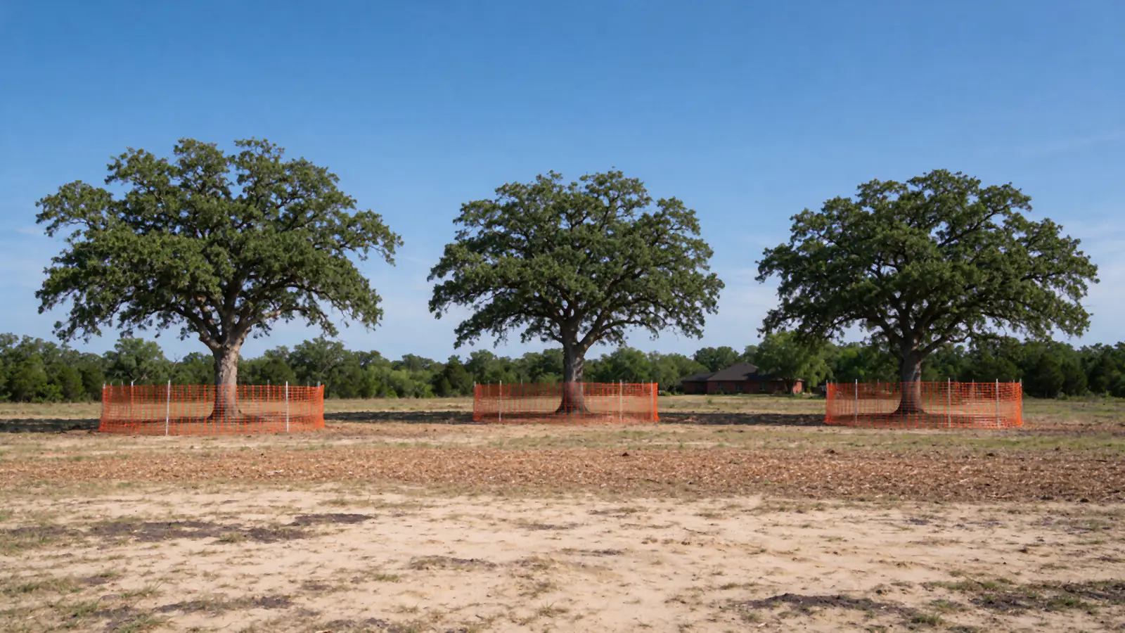
Where the map shows an ESA and land disturbance is planned, the city requires an ESA Field Assessment by a qualified biologist or wetland specialist; the assessment fee is $1,118. The assessment can confirm the ESA, adjust its edge or show that none exists, which exempts the property. Disturbing an ESA beyond the limited encroachments the code allows takes an Alternative ESA Plan, heard by the Planning and Zoning Commission and then City Council. Protective fencing goes up at the ESA perimeter before work starts.
The map does not follow surface water. A channel that runs only after storms can still be a mapped stream, and the buffer width depends on how much land drains to it, not on how wet it looks in August.
Brush along a creek or draw?
Send the address and photos of the creek side. The walk-through checks the map, sets the line and plans work that stays on the right side of it.
Outside the city: ETJ, county and towns
In Denton’s ETJ, the city’s floodplain standards still apply even where its city-limits tree rules do not. In unincorporated Denton County, the county’s development permit is required for any excavation in a flood zone, and its list names culverts, dams, digging, dredging, filling, maintenance of creeks and ponds. Plain brush cutting outside the floodplain is not on that list; anything that moves soil in a flood zone is, including grading for a pad or a pond. Applications go through Denton County Development Services, 940-349-2990.
Towns add their own checks. Sanger’s early grading form asks whether the site is in a FEMA special flood hazard area and requires a floodplain permit if it is, and its contractor consent form states that weeds, grass, shrubs or brush must not be deposited where they will drain to the storm sewer or waters of the state. Justin requires a city permit for any dirt work and erosion control kept up at all times. Rules in other towns are confirmed per address, and the Sanger and Justin pages cover each town.
Federal rules on wetlands and lake land
Work that places fill or runs machines through a stream bed or wetland can also fall under the U.S. Army Corps of Engineers’ permit program, separate from any city or county rule. Denton’s own code reflects that: agricultural activity under a federal nationwide permit is allowed in riparian areas. Where a channel or wet area is involved, the Corps’ Fort Worth District is the office that answers whether a specific spot needs a federal permit.
Lake land is stricter still. Around Lewisville Lake, the Corps owns land generally up to the 535-foot contour and holds a flowage easement on private land at and below 537 feet. Adjacent owners may not clear government land. They can apply for a group Mowing and Underbrushing Zone permit, which allows mowing grass no shorter than 3 inches and removing underbrush under 2 inches in diameter, within 50 feet onto government property next to their line. Destroying or removing other vegetation on public land is prohibited, and structures and fill are restricted on the easement. Permits come through the Lewisville Lake Manager’s office.
What clearing near water can still look like
Restricted does not mean untouchable. Work that fits inside these rules usually looks like this:
- Clearing the yard side, stopping at the line. A mulched or cleared yard that ends at the buffer edge, with the line flagged before any machine arrives.
- Invasive removal with approval. Chinese privet is the common target. City staff documented privet along the whole length of a Pecan Creek tributary, and an approved plan there set a 95% eradication goal over 3.52 acres of buffer. Light equipment, cut stems treated by a licensed applicator the owner arranges, and native trees left standing keep the bank intact.
- Dead and hazard trees. Trees threatening a structure or a crossing, handled under the applicable exemption and with the least disturbance possible.
- Access for surveys and fencing. Narrow understory clearing for surveys or protection fencing, within the code’s limits.
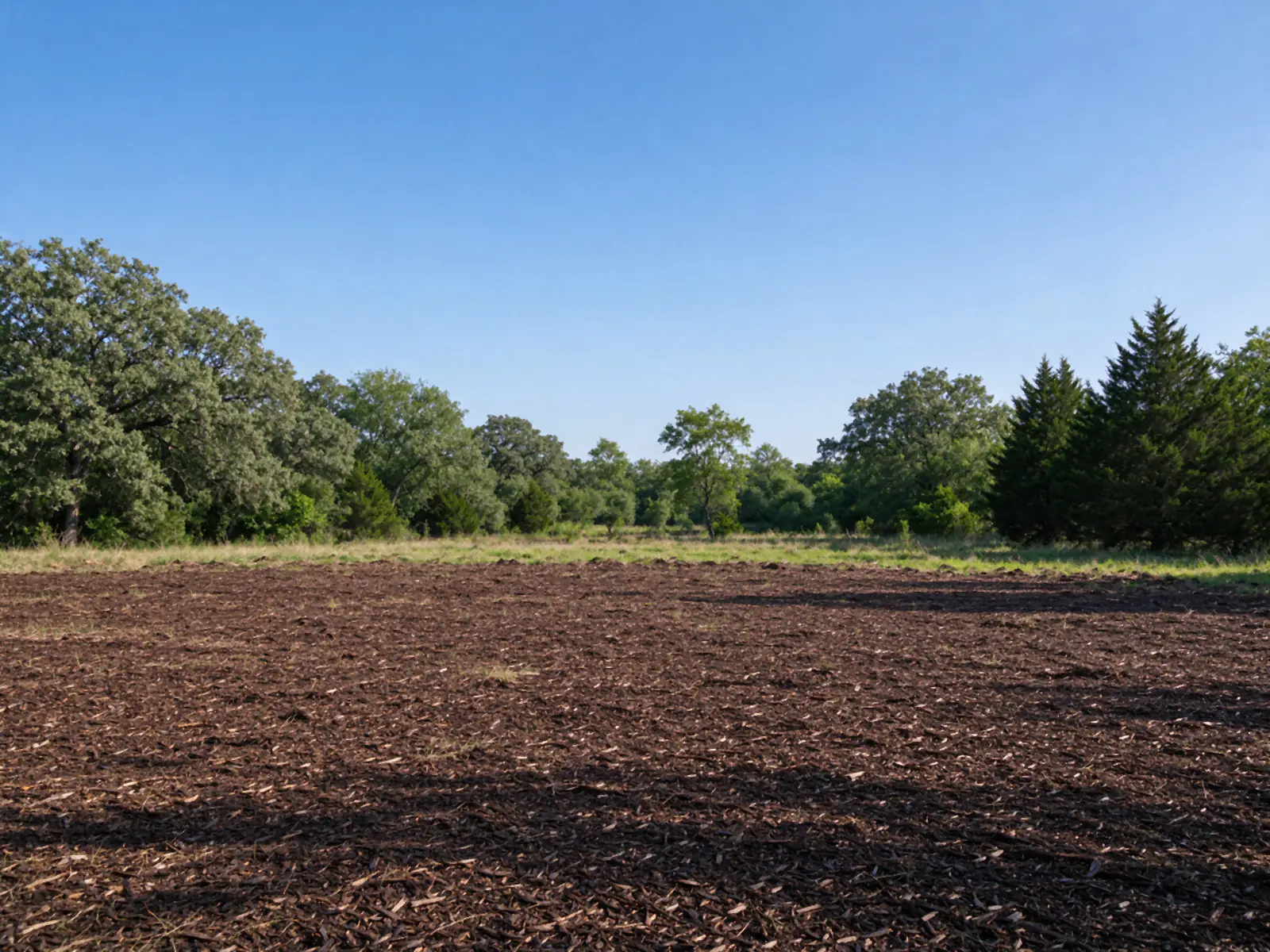
The method is as important as the permission. A forestry mulcher working the upland edge leaves roots and a chip layer that slow runoff on its way to the creek, which is why forestry mulching often fits these lots better than grubbing. Bare soil within reach of a channel needs silt fence or cover before the next rain; Denton County TxDOT bids put silt fence at $3.40 to $5.00 a foot installed, and erosion control covers the alternatives. Resprouting privet along creek edges needs follow-up for years, as the keeping brush from growing back guide explains.
Habitat along the creek
Creek corridors are some of the richest wildlife habitat on Denton-area land: shade for the water, cover for deer and birds, travel lanes between woodlots. That is part of why the city maps them, and a reason to clear lightly even where the rules would allow more. Leaving a wooded strip along a draw also helps an ag-valued tract under wildlife management use, which counts habitat control and erosion control among its activities; see the ag exemption guide.
Planning a clearing job near water
- Check the ESA map and the FEMA flood map for the parcel, and confirm whether it sits in the city, the ETJ, a town or the county.
- If an ESA is shown and soil will be disturbed, get the field assessment before designing the job.
- Flag the buffer and floodplain lines on the ground, and fence them where the code requires.
- Choose low-disturbance methods near the line, and plan erosion control for any bare soil.
- Schedule for dry ground, away from the May and October peaks.
For a homesite on a creek lot, the clearing land to build a house guide adds the building steps, and the cornerstone guide covers the wider permit picture. Call (940) 204-6191 or request an estimate with the address and photos of the creek side.